
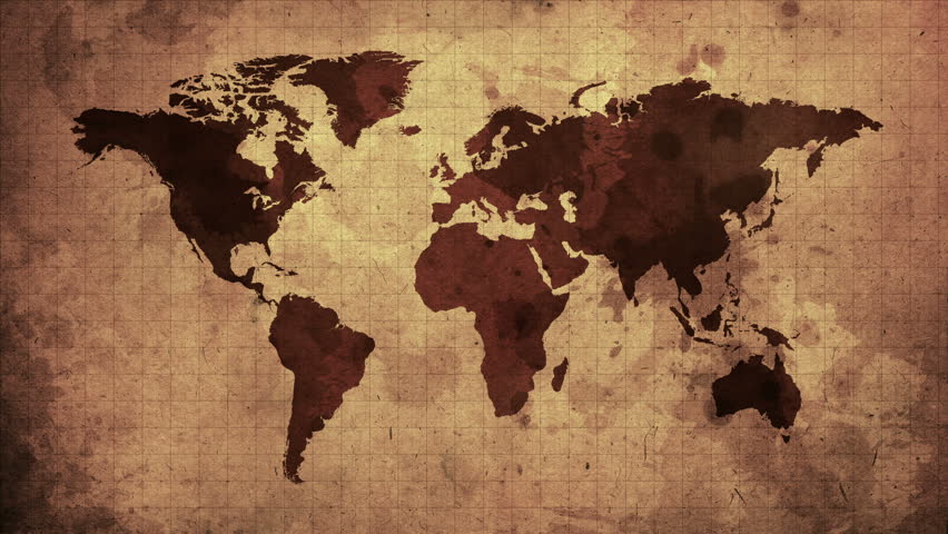
Mercator’s projection has shaped our world-view
By flattening the earth on paper, it has distorted continents too
Unsuspecting, we study geography through a flawed lens
Of the sizes of various continents, we do not get the true sense
Africa appears diminished, other continents larger appear
And this subconsciously affects our perception, I fear
The countries near the poles much larger seem to be
While developing countries in the south get viewed diminutively
Since size matters in terms of importance relative
Subconsciously more importance to the northern “developed” world we give..
*
It is my opinion, but just a small plea
Why can a globe not be used to teach geography?
Such that the continent of Africa and the island of Greenland
Are not the same in size, we appreciate and understand
Let the developing world not be shrunken down in size
A distorted map projections perpetuates bias, we should realize
